Eastgate
Wooded hills south of I-90, offices and Bellevue College to the north, and a plan to connect the pieces.
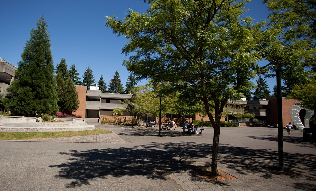
After World War II, new housing tracts and the first shops at Sunset Village began turning rural Eastgate into a suburb. I-90 cut through it, and offices later filled the former airfield valley along 160th Avenue. The last annexation brought the whole neighborhood area into Bellevue in 2012.
- Homes
- Median sale: condos $764,000, houses $1.95 million
- Schools
- Spiritridge or Somerset · Tillicum or Tyee · Newport · 26% Issaquah district
- Getting around
- Eastgate Park & Ride is the bus hub; route 226 reaches South Bellevue Station.
- Next decision
- 10 Nov 2026: The Council is scheduled to review the recommended Eastgate and Factoria plans together. A later adoption date is not listed.
Living here
Where to go
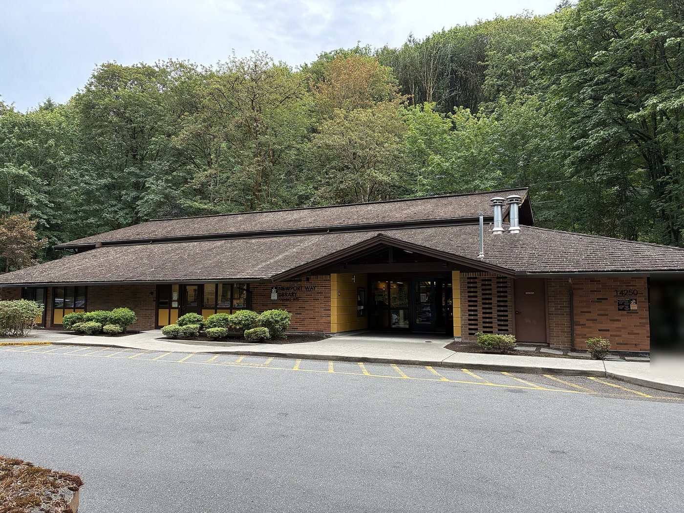 14250 SE Newport Way
Newport Way Library
Books, a meeting room and a place to sit off Newport Way. Check the branch calendar for events.
Where people live
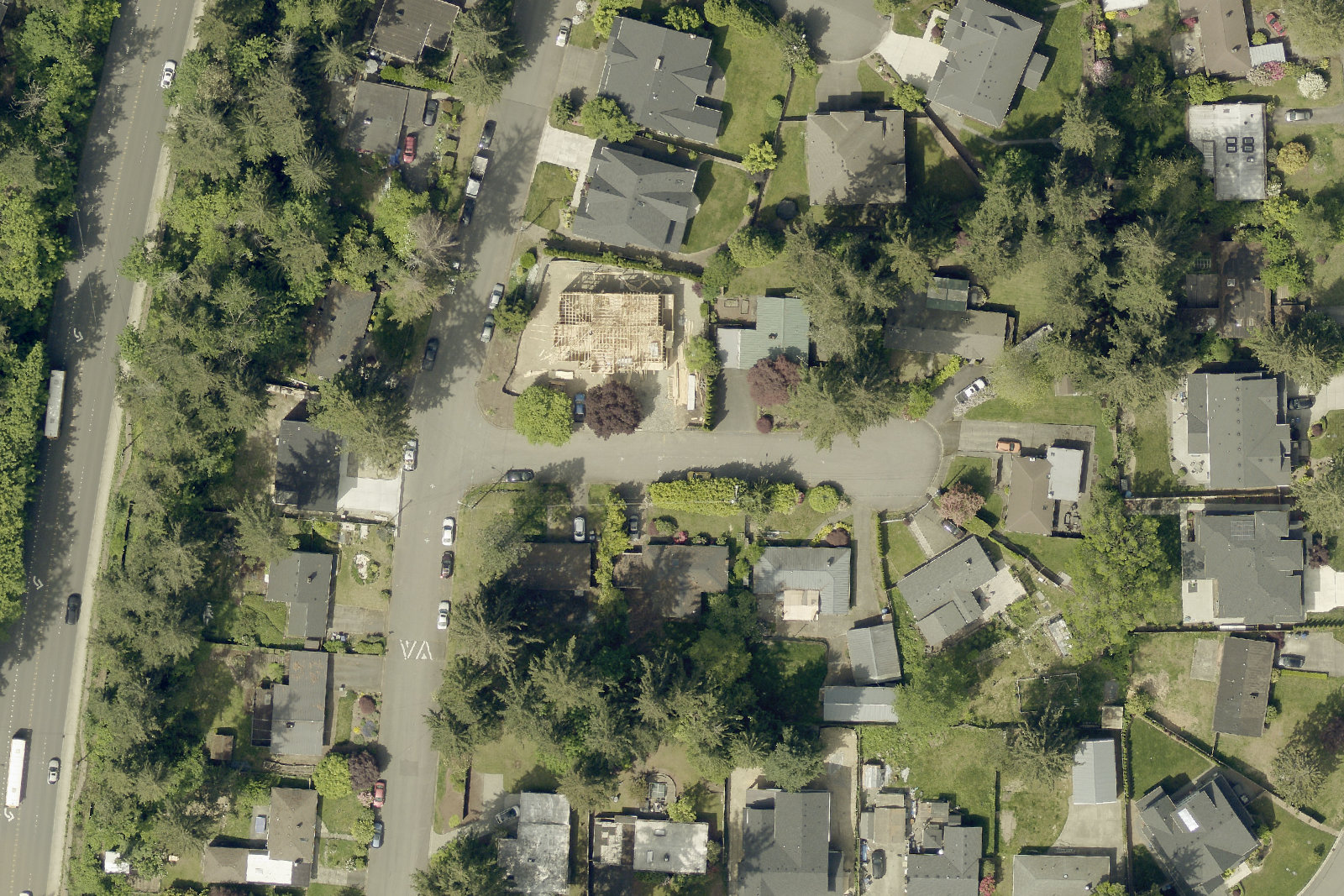
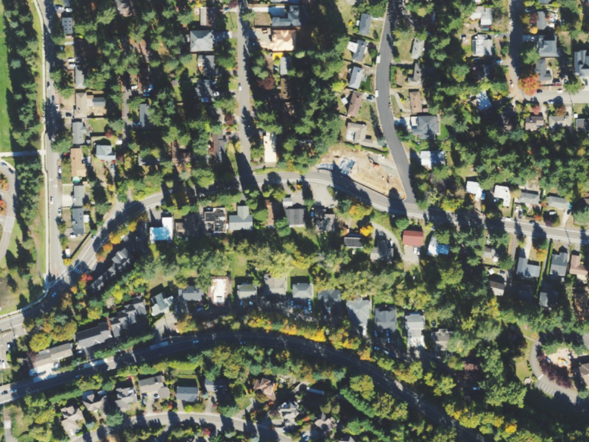
Detached houses line the hills south of I-90, including Horizon Heights and Cougar Hills. Madrona Park, beside Sunset Park in the northwest, has condominiums; newer apartment buildings stand along SE Eastgate Way. The freeway separates these residential pockets from one another as much as it connects Eastgate to the region.
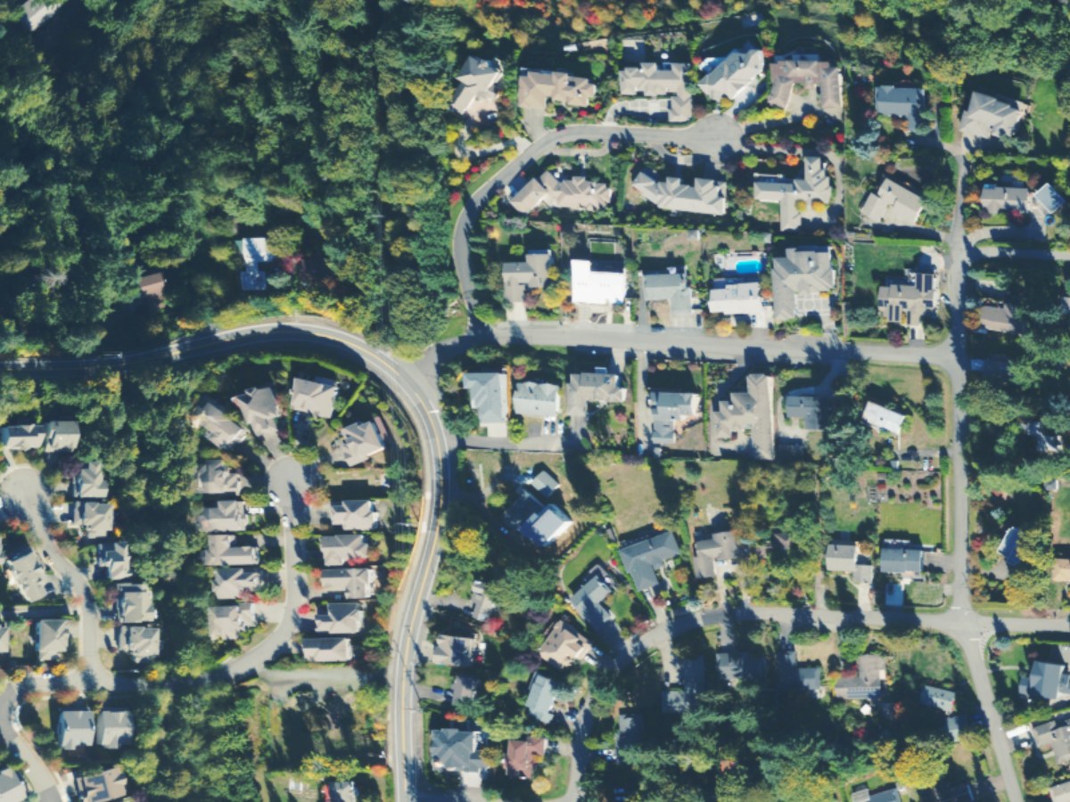
What homes here sold for in the year to 14 October 2026, from the sales King County records.
Houses and townhouses$1.95 million median 71 sales · Bellevue $1.89 million
Condos$764,000 median 14 sales · Bellevue $615,000
A median describes the homes that happened to sell, not every home here. Only ordinary sales count: estate, family, foreclosure and multi-parcel sales are left out. A type with fewer than 10 sales shows no median. Rents are not public record.
Schools that serve it
Bellevue School District assigns schools by address. Each bar is the share of the 2,622 addresses here that a school serves.
- Spiritridge63%about 570 students
- Somerset8%about 770 students
- Tillicum40%about 710 students
- Tyee30%about 1,060 students
- Newport69%about 1,850 students
About 26% of addresses here are in the Issaquah School District, which assigns schools by its own maps.
From the attendance areas the City of Bellevue maps for the district, read 25 August 2026. Boundaries change and an address near a line can differ: confirm with the district’s school locator. Choice and application schools have no attendance area and are not listed. Enrollment is each whole school’s, all grades, from the OSPI Report Card for 2025-26 (data as of 1 June 2026), rounded to the nearest ten; it counts every student, not only those from here.
Getting around
More about this map
Geometry simplified to about 12 metres. Station point is the platform centre. The frame is the area plus a few hundred metres; only routes with a stop in the area or at its edge are drawn, each direction, variant and carriageway as one line; routes within 60 metres of each other share a road and are drawn side by side.
- Metro GTFS: 20260928 to 20270326 (FAL26-161.2); retrieved 2026-10-27.
- Sound Transit GTFS: 20261001 to 20270326 (SC-Fall-2026.5); retrieved 2026-10-27.
- OpenStreetMap snapshot: 2026-10-24T20:20:51Z; retrieved 2026-10-27.
- By bus, Eastgate Park & Ride is at 14200 SE Eastgate Way. Metro's current network includes 220 to Bellevue Transit Center, 223 toward Downtown Redmond Station via Overlake Village Station, and 245 to Kirkland.
- For light rail, route 226 links the park-and-ride and Bellevue College with South Bellevue Station on the 2 Line. Eastgate has no light rail stop of its own.
- Sound Transit's 556 links Issaquah, Eastgate and Bellevue, including South Bellevue Station. Route 554 was discontinued on 29 August 2026; older maps still show it.
- Walking and cycling, the Greenway extension from 142nd Place SE to the pedestrian overcrossing at 150th Avenue SE is under construction, with completion expected by the end of 2027. SE 36th Street has westbound-only traffic and an eastbound bike detour; check the city's project page before setting out.
- By car, I-90 runs through the middle. The main local routes include SE Eastgate Way, SE 36th Street and 148th Avenue SE; the crossings of the freeway funnel trips between the two sides.
What’s changing
The city’s plan for Eastgate
Eastgate's draft area plan goes before the City Council on 10 November, alongside Factoria's. It sets direction for later street projects, park investments and development; it is not a construction schedule. The policy numbers below come from the June draft and may change before adoption.
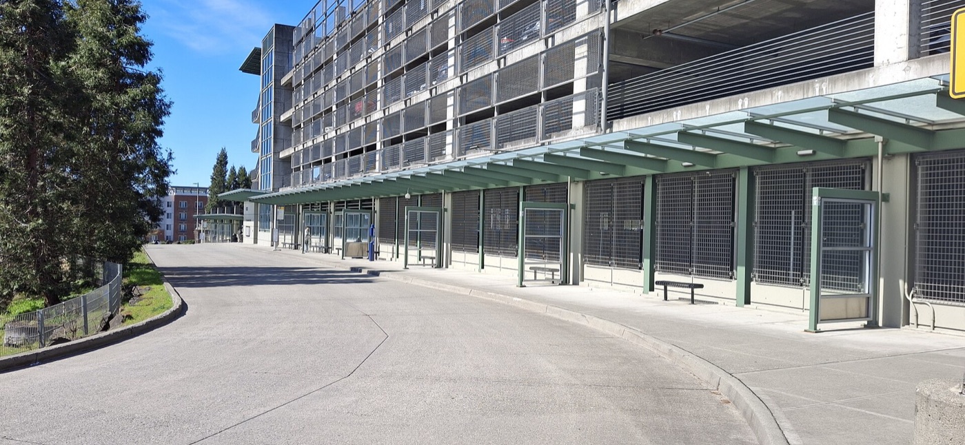
Around the park-and-ride
NowA regional bus hub beside I-90, with difficult approaches on foot from parts of the neighborhood.
The plan wouldBuild a compact district of homes, shops and jobs around transit, and coordinate the location and access of future high-capacity transit (S-EG-N16, S-EG-N18).
Eastgate Plaza and the office areas
NowThe shopping plaza south of I-90 fronts a parking lot; older office campuses occupy large sites along the freeway.
The plan wouldMake Eastgate Plaza a walkable mixed-use center, encourage small commercial spaces in new buildings, and help businesses stay through redevelopment (S-EG-N10, S-EG-N13, S-EG-N20).
Small parks and gathering places
NowThe draft identifies gaps in neighborhood parks south of the freeway; Eastgate Commons is a separate park project at SE 39th Street.
The plan wouldAcquire land for local parks and make more indoor gathering space available with community partners (S-EG-N21, S-EG-N27).
Airfield Park and a pool
NowAirfield Park remains undeveloped. The city has adopted a park master plan and is selecting a design-build team.
The plan wouldSupport the community park and a regional aquatic facility, with outdoor space for events and markets (S-EG-N24, S-EG-N28, S-EG-N29). These policies do not set an opening date.
Crossings, sidewalks and the Greenway
NowSteep hills, missing sidewalks and I-90 crossings interrupt walks and bike trips. Greenway construction is underway as far as the 150th Avenue SE pedestrian overcrossing, with later phases still unfunded.
The plan wouldComplete the Greenway between 142nd Place SE and Lakemont Boulevard, improve arterial crossings and bicycle links, and connect frequently to the park-and-ride and South Bellevue Station (S-EG-N32, S-EG-N37, S-EG-N38, S-EG-N40).
Creeks and greenbelts
NowCreeks run through wooded corridors, but trails and entrances do not join into a complete network.
The plan wouldSecure more trail entrances and explore paths and viewing areas along streams, while improving water quality and habitat (S-EG-N26, S-EG-N41, S-EG-N42).
These are policies the Council adopted, not funded projects: none comes with a budget or a date unless its card states one.
Where it stands
The Council adopted the updated Airfield Park master plan. This is a separate park decision, not adoption of the neighborhood area plan.
The Council launched the Eastgate and Factoria area-plan amendments.
The Planning Commission received the introduction to the Eastgate and Factoria amendments.
The city issued the Eastgate area-plan notice of application.
The Council advanced the preferred design and name for Eastgate Commons at 14700 SE 39th Street.
The Council adopted the Eastgate Commons name. The park was still in design in the city's spring update.
The Council's agenda included an Eastgate and Factoria planning update, listed without a presentation.
The Planning Commission received an update on the two neighborhood plans.
The neighborhood planning team brought the draft work to the Parks and Community Services Board.
The Arts Commission received the Eastgate and Factoria planning update.
The Transportation Commission reviewed the neighborhood planning work.
The Planning Commission reviewed Eastgate's full draft plan.
The city released its request for a design-build team for Airfield Park and the aquatic center. Design is expected in the first half of 2027; an opening date is not given.
The Planning Commission held the Eastgate area plan's final-review public hearing.
The Council is scheduled to review the recommended Eastgate and Factoria plans together. A later adoption date is not listed.
What’s coming
No opening with a confirmed date is listed here yet.
How this was checked
Boundary: the City of Bellevue’s Neighborhood Areas layer, the Comprehensive Plan’s planning areas. Place information was checked against the sources and dates under Sources.
Schools: every addressed parcel the city publishes, placed in the district’s attendance areas and, outside them, in the city’s school-district layer. A school serving under 5% of an area’s addresses is left out. Enrollment: OSPI’s Report Card enrollment on data.wa.gov, the all-students count for each school, read by scripts/neighborhood_enrollment.py.
Home prices: the King County Assessor’s Real Property Sales extract, ordinary sales of houses and condos by warranty deed with no non-market flag, placed by parcel number in the city’s parcel layer (a condo by its building).
Sources (7)
Sources
- History, homes, street conditions and proposed policies: City of Bellevue, June 2026 Draft Eastgate Neighborhood Area Plan, pages 2–6 and 14–19; January 2026 Existing Conditions report, pages 7 and 12–14. Read 26 October 2026.
- Area-plan meeting dates and next Council review: Great Neighborhoods. Read 26 October 2026; a listed review is not an adoption vote.
- Buses: Metro's East Link Connections network, route 226 schedule, and parking locations; Sound Transit's 556 and August 2026 service change. Read 26 October 2026. Check the agencies for trip times and temporary stop changes.
- Library address and services: Newport Way Library, read 26 October 2026. This is a desk check of the operator's page, not a visit.
- Park decisions: Eastgate Neighborhood Park project, Council roundup, 18 November 2025, 6 January 2026 Council record, and Bellevue Airfield Park project. Read 26 October 2026; opening dates are not confirmed.
- Trail status: Mountains to Sound Greenway Trail. Read 26 October 2026; the older draft's trail description predates construction.
- Residential aerials: public-domain USDA NAIP imagery acquired 7 October 2023, read through Microsoft Planetary Computer's NAIP collection on 26 October 2026. Each view centres on a residential zone's median parcel in the city's public parcel layer; the images describe the ground in 2023, not current zoning rights.
Photo credits
- The courtyard at Bellevue College, about 2010: Bellevue College, 2010, CC BY 2.0, via Flickr.
- Houses on SE 41st Place, from the air: King County, EagleView, 2025, Used with permission (King County GIS, 2026-10-22), via gismaps.kingcounty.gov.
- Sheltered bus stops at the base of the Eastgate parking garage: Traininteriorguy, 2026, CC BY 4.0, via Wikimedia Commons.