West Lake Sammamish
Lakefront streets below wooded slopes, trails through Weowna, and a new neighborhood plan taking shape.
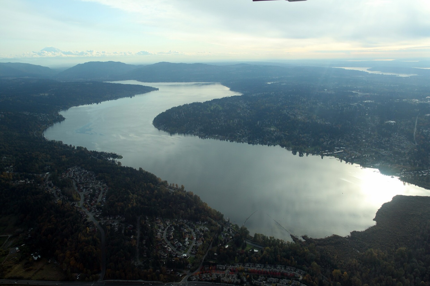
The lakeshore was being platted in the 1920s and 1930s, before development spread across the plateau in the 1950s. Original waterfront vacation homes became part of a larger landscape of residential streets on the hillside and beside the water. Today the city's West Lake Sammamish area includes Spiritridge, Phantom Lake, Sammamish Heights, Rosemont Beach and Lake Manor.
- Homes
- Median sale: condos $780,000, houses $1.73 million
- Schools
- Spiritridge, Bennett or Phantom Lake · Tillicum or Highland · Sammamish or Interlake · 9% Issaquah district
- Getting around
- Metro 226 serves the plateau; the 203 follows Newport Way along the southern edge. Both reach South Bellevue Station.
- Next decision
- 10 Nov 2026: The City Council votes on buying two adjacent properties at 1806 and 1808 West Lake Sammamish Parkway SE for the city's park and open space program, for up to $4.75 million, with $4.8 million moved from a parks reserve to pay for it. The ordinance is on the consent calendar, which the Council usually passes in one vote.
Living here
Where to go
Start with a forest walk through Weowna or a circuit around Phantom Lake, then the lake itself at Vasa Park. The Phantom Lake photograph shows the public dock on the lake's western side; the loop also follows streets around the lake, rather than hugging the water all the way.
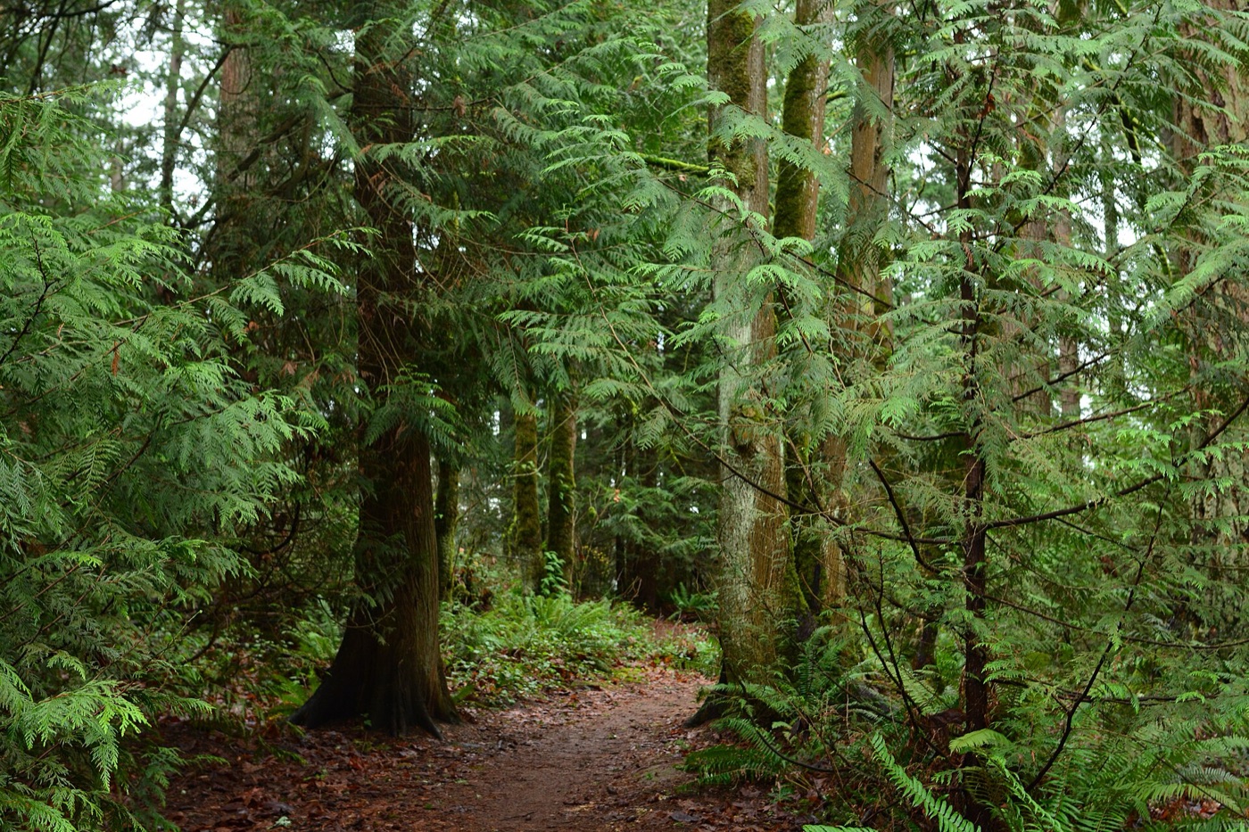 1420 168th Avenue SE; entrances also on the parkway
Weowna Park
Forest paths and a ravine carrying Phantom Creek toward Lake Sammamish. Pick an entrance from the city's trail map before heading down the slope.
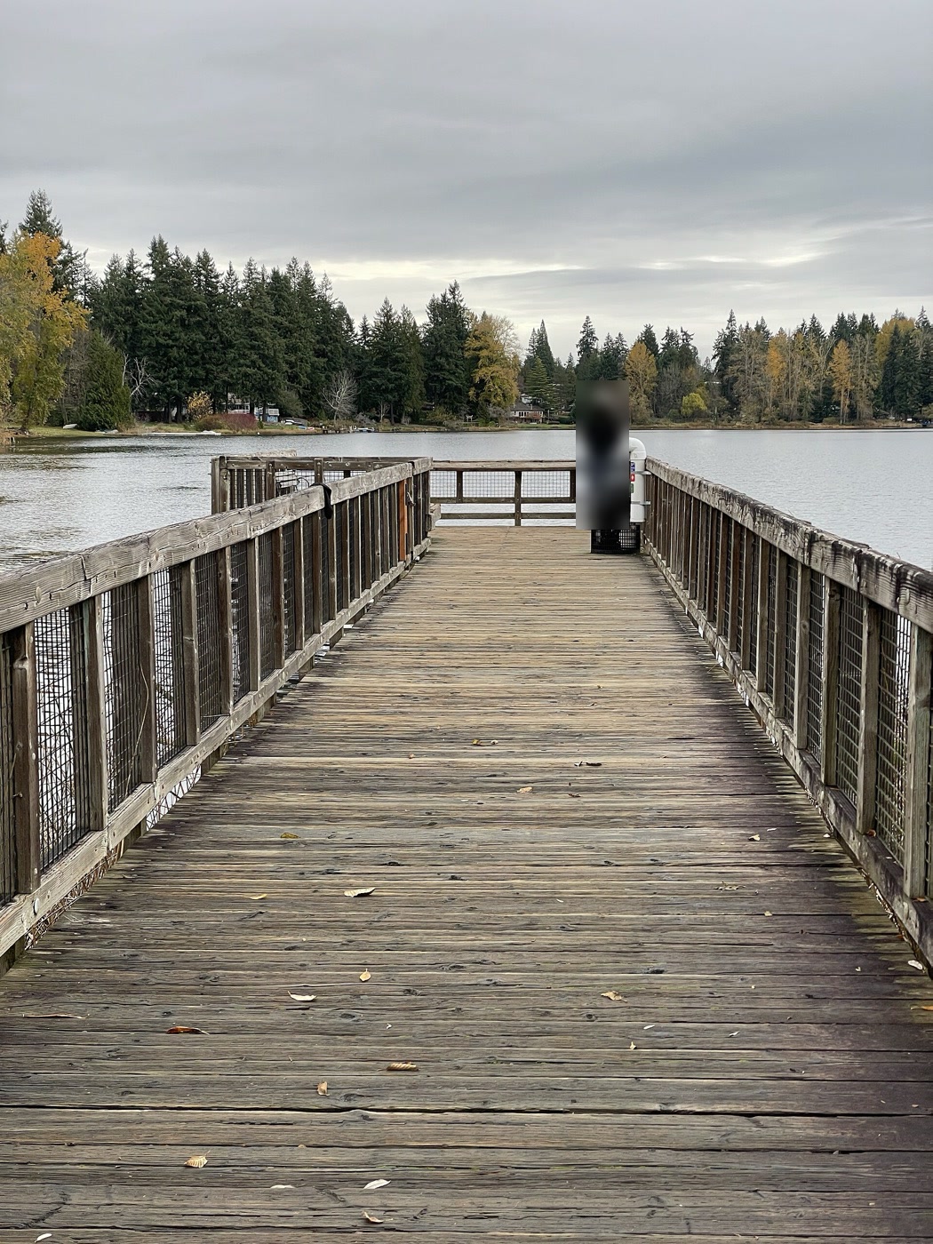 Around Phantom Lake; public dock at 2034 156th Avenue SE
Phantom Lake Loop
A paved circuit linking neighborhood streets and the Greenbelt, with a dock on the western side of the lake. For non-motorized boating, collect the required self-serve permit at the kiosk.
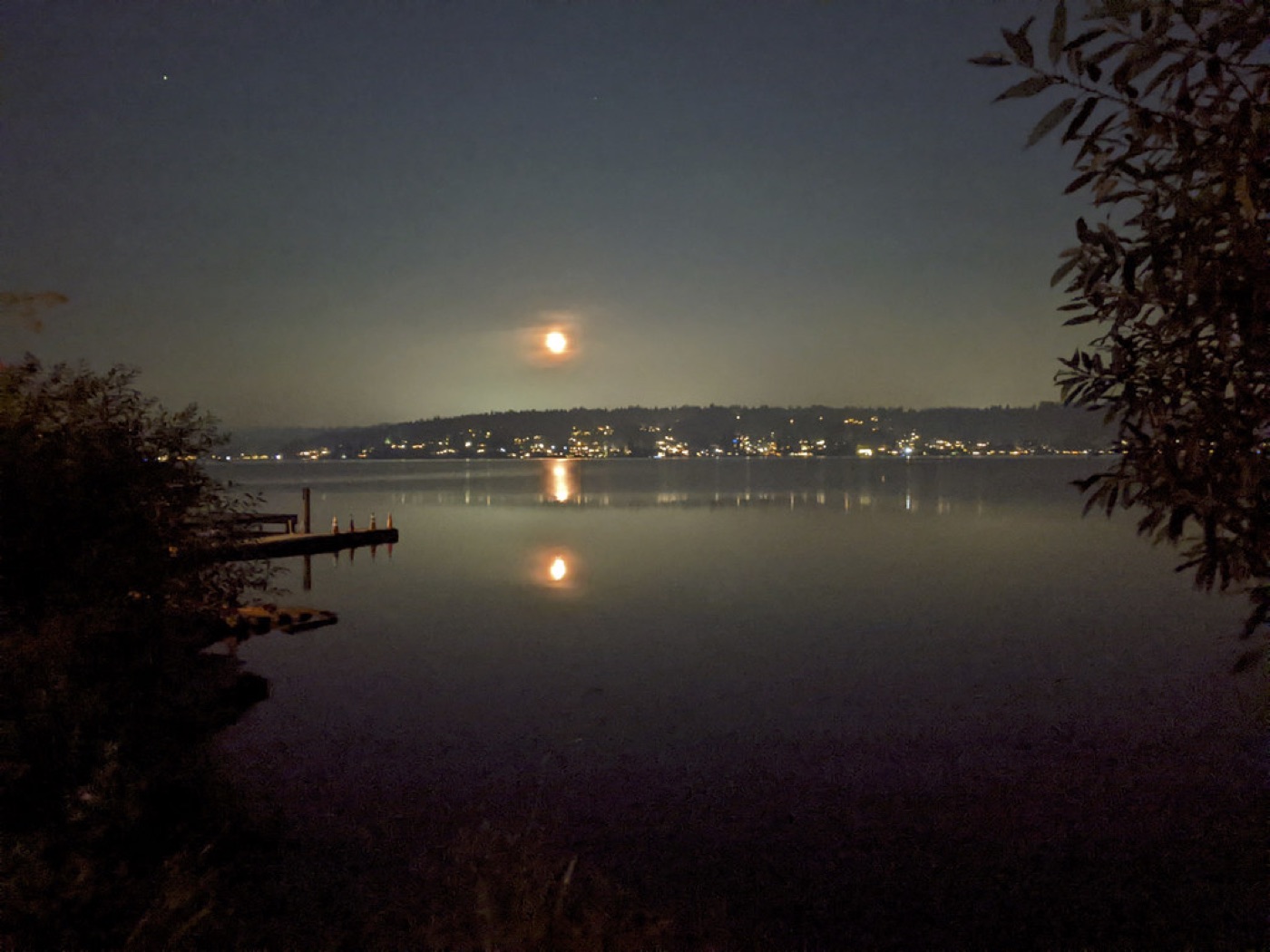 3560 West Lake Sammamish Parkway SE
Vasa Park Resort
A private waterfront park with public paid admission, picnic space and camping. This lake view is from the photographer's 2022 visit; check the operator for current access, fees and seasonal arrangements.
Where people live
Houses occupy the Lake Sammamish waterfront, the slopes above the parkway and the streets around Phantom Lake and Spiritridge. Woodland separates some of the hillside streets; Weowna's ravine runs down toward the larger lake. The aerials below show residential parcels in different parts of the area as they appeared in 2025 and 2023, rather than what current rules allow an owner to build.
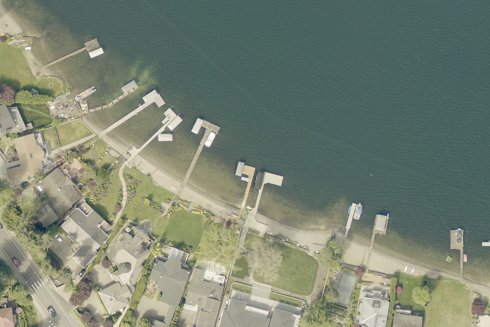
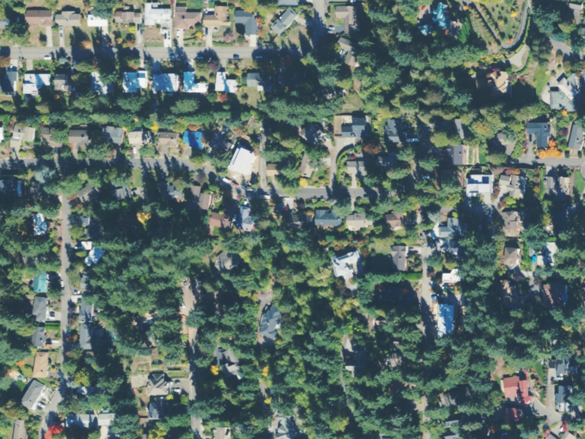
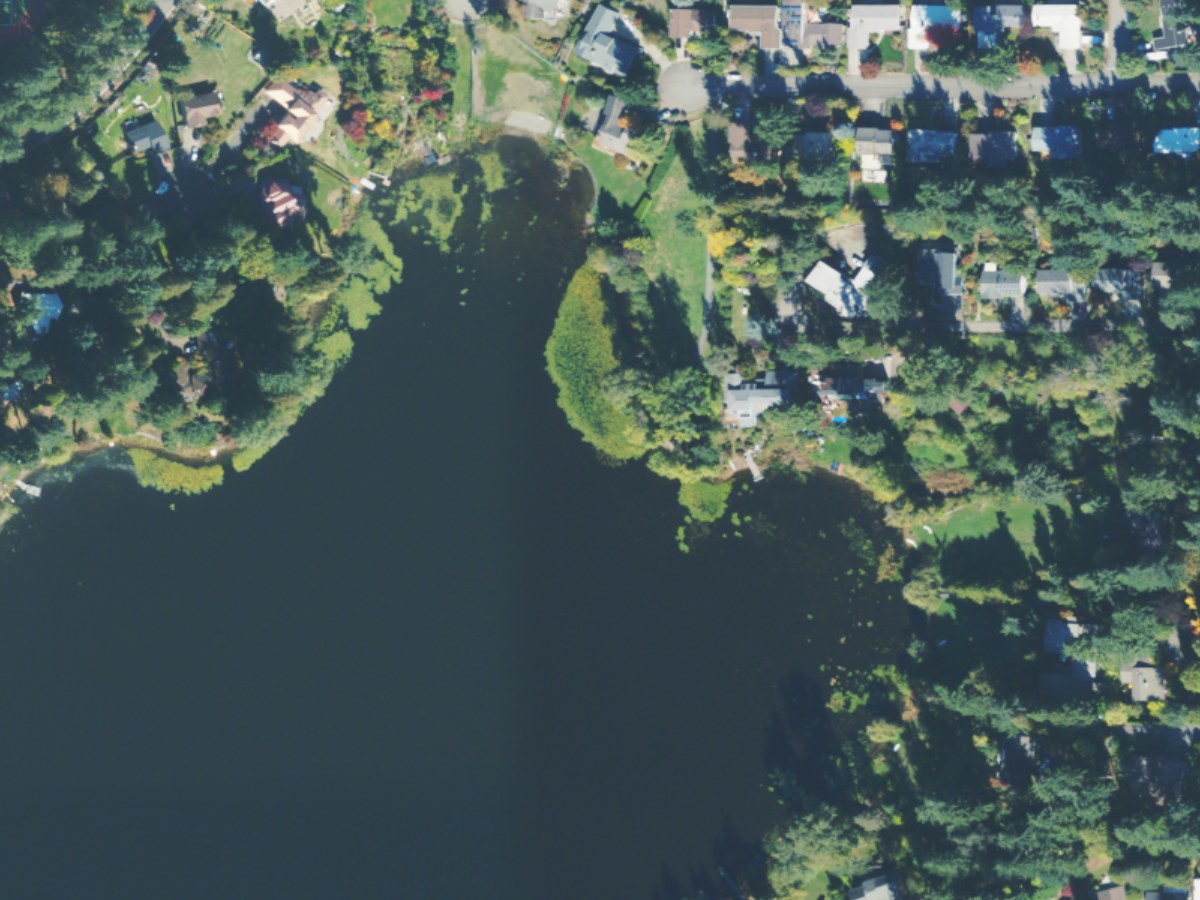
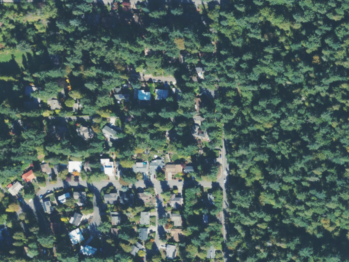
What homes here sold for in the year to 14 October 2026, from the sales King County records.
Houses and townhouses$1.73 million median 41 sales · Bellevue $1.89 million
Condos$780,000 median 17 sales · Bellevue $615,000
A median describes the homes that happened to sell, not every home here. Only ordinary sales count: estate, family, foreclosure and multi-parcel sales are left out. A type with fewer than 10 sales shows no median. Rents are not public record.
Schools that serve it
Bellevue School District assigns schools by address. Each bar is the share of the 2,183 addresses here that a school serves.
- Spiritridge66%about 570 students
- Bennett18%about 520 students
- Phantom Lake7%about 380 students
- Tillicum73%about 710 students
- Highland18%about 530 students
- Sammamish73%about 1,280 students
- Interlake18%about 1,690 students
About 9% of addresses here are in the Issaquah School District, which assigns schools by its own maps.
From the attendance areas the City of Bellevue maps for the district, read 25 August 2026. Boundaries change and an address near a line can differ: confirm with the district’s school locator. Choice and application schools have no attendance area and are not listed. Enrollment is each whole school’s, all grades, from the OSPI Report Card for 2025-26 (data as of 1 June 2026), rounded to the nearest ten; it counts every student, not only those from here.
Getting around
More about this map
Geometry simplified to about 12 metres. Station point is the platform centre. The frame is the area plus a few hundred metres; only routes with a stop in the area or at its edge are drawn, each direction, variant and carriageway as one line; routes within 60 metres of each other share a road and are drawn side by side.
- Metro GTFS: 20260928 to 20270326 (FAL26-161.2); retrieved 2026-10-27.
- Sound Transit GTFS: 20261001 to 20270326 (SC-Fall-2026.5); retrieved 2026-10-27.
- OpenStreetMap snapshot: 2026-10-24T20:20:51Z; retrieved 2026-10-27.
Metro 203 serves SE Newport Way along the southern edge, between Issaquah and South Bellevue Station.
| To | How | Typical trip |
|---|---|---|
| Downtown Bellevue | Metro 226 | about 31 min |
| South Bellevue Station | Metro 226 | about 23 min |
| Downtown Seattle | Metro 226 → 2 Linechange at South Bellevue | about 49 min |
| Sea-Tac Airport | Metro 226 → 2 Line → 1 Linechange at South Bellevue, International District/Chinatown | about 81 min |
Scheduled times on 29 October 2026, a weekday: the median over the buses leaving SE 14th St & 168th Ave SE or SE 14th St & 167th Ave SE between 10 a.m. and 2 p.m., from boarding to arrival, waits to change included and the walk to the stop not. From the Metro and Sound Transit GTFS, read 29 October 2026. Check the agencies before travelling.
What’s changing
The city’s plan for West Lake Sammamish
West Lake Sammamish is in the Discover phase of the neighborhood plan launched in July. The city expects strategy work in winter 2027, draft refinement in spring, and commission and Council review in summer–fall; no hearing or adoption day is posted. A new area-plan draft and Existing Conditions report are not yet linked. These cards use the published Southeast Bellevue subarea policies as the older baseline: ‘The plan would’ describes carrying them out, not newly proposed West Lake Sammamish text.
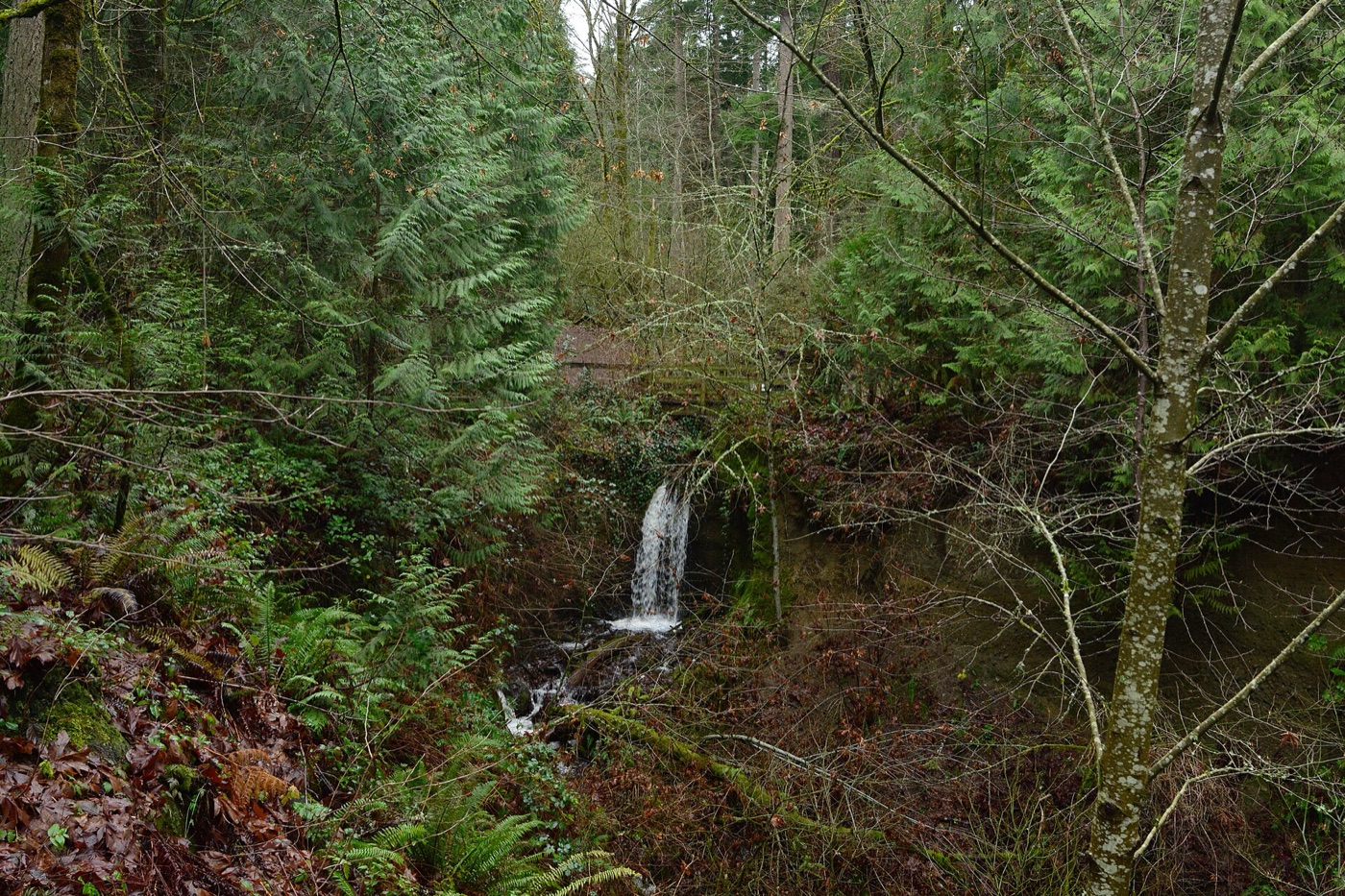
Wooded slopes and Phantom Creek
NowWeowna's forest and creek occupy the hillside above the parkway, between residential streets and the lake.
The plan wouldRetain severe slopes as open space, limit clearing and grading, keep natural vegetation and preserve open streams where erosion and flooding risks allow (existing S-SE-14–17). These are the older subarea's policies, not a new draft.
Phantom Lake and its wetland edges
NowThe lake, wetlands and public paths are part of a wider Greenbelt extending west beyond this neighborhood.
The plan wouldProtect soils, drainage and water quality, allow modest nature-viewing paths and have adjoining development complement the wetland landscape (existing S-SE-10, S-SE-12–13).
Access to parks and the waterfront
NowSpiritridge has courts, picnic space and trails; the lakeshore also contains private homes and recreation land. A lake view is not itself public access.
The plan wouldMaintain parks with community participation, seek recreation sites where access is missing and plan long-term acquisitions (existing S-SE-18–20). The city's separate land purchases do not yet supply an opening date for a new public lakefront park.
Walking between neighborhoods
NowThe Lake to Lake Trail reaches Weowna, while the Phantom Lake circuit follows surrounding streets as well as park paths.
The plan wouldConnect parks and activity destinations with trails and provide hard-surfaced routes along arterial streets (existing S-SE-27–28). A policy identifies work to pursue rather than confirming that every connection is finished.
Bus stops and street crossings
NowMetro serves the plateau and Newport Way, while the northern parkway's Phase 2 path project is already complete.
The plan wouldFund transit shelters and walking and cycling facilities, prioritize safety in road redesign and seek bus service as need is demonstrated (existing S-SE-5, S-SE-24–26). The neighborhood process does not set Metro timetables.
These are policies the Council adopted, not funded projects: none comes with a budget or a date unless its card states one.
Where it stands
The City Council initiated the Lake Hills and West Lake Sammamish planning amendments, beginning this neighborhood's new plan process.
The City Council votes on buying two adjacent properties at 1806 and 1808 West Lake Sammamish Parkway SE for the city's park and open space program, for up to $4.75 million, with $4.8 million moved from a parks reserve to pay for it. The ordinance is on the consent calendar, which the Council usually passes in one vote.
Every meeting in the process (2)
Community members brought their priorities to the joint neighborhood planning kickoff.
The planning team held public-space assessment walks to examine gathering places, public spaces and transport connections.
What’s coming
No opening with a confirmed date is listed here yet.
How this was checked
Boundary: the City of Bellevue’s Neighborhood Areas layer, the Comprehensive Plan’s planning areas. Place information was checked against the sources and dates under Sources.
Schools: every addressed parcel the city publishes, placed in the district’s attendance areas and, outside them, in the city’s school-district layer. A school serving under 5% of an area’s addresses is left out. Enrollment: OSPI’s Report Card enrollment on data.wa.gov, the all-students count for each school, read by scripts/neighborhood_enrollment.py.
Home prices: the King County Assessor’s Real Property Sales extract, ordinary sales of houses and condos by warranty deed with no non-market flag, placed by parcel number in the city’s parcel layer (a condo by its building).
Sources (10)
Sources
- Planning status and dates: Great Neighborhoods, the West Lake Sammamish engagement hub and 28 July Council roundup. Read 27 October 2026. Seasonal stages are forecasts, not scheduled votes.
- History and numbered policy baseline: Southeast Bellevue Subarea Plan, printed pages 270, 273–279; current coverage identified by the Comprehensive Plan index. Read 27 October 2026. The historical subarea covers more than this guide; its old inventories and zoning descriptions are not current entitlements.
- Neighborhoods and waterfront history: city Neighborhood Profiles, West Lake Sammamish section. Read 27 October 2026.
- Parks and entrances: Weowna Park, Weowna Park Trail, Phantom Lake Loop, Lake Hills Greenbelt and Spiritridge Park. Read 27 October 2026. Phantom Lake boating requires the kiosk permit; the loop extends outside this neighborhood area.
- Transit: Metro 226, 203 and GTFS feed, plus Sound Transit's South Bellevue Station and rail GTFS. Read 27 October 2026; active trips, stop locations and map-source dates are retained in the saved transit record. This is a static route map, not a live service guarantee.
- Park purchase: the City Council's 10 November 2026 agenda, consent item ORD 6946, read 6 November 2026; both addresses placed inside this neighborhood area by the city's parcel layer. The purchase is proposed until the Council votes.
- Completed road work: West Lake Sammamish Parkway Phase 2, read 27 October 2026. Its completion applies to the described northern segment.
- Vasa access and address: the operator’s park admission page and home page, read 27 October 2026. Its listed October Carvefest date has already passed; it is not an upcoming opening.
- Future public waterfront and Vasa open space: city 2026 Parks Levy progress report, pages 7 and 11, read 27 October 2026. Land acquisition and site preparation are recorded; no park opening is confirmed.
- Residential views: public-domain USDA NAIP, acquired 7 October 2023, through Microsoft Planetary Computer. Read 27 October 2026. The retained source record selects actual residential parcel centroids inside the city's area; the captions describe only the visible windows.
Photo credits
- Lake Sammamish from the air, November 2011: Jelson25, 2011, CC BY-SA 3.0, via Wikimedia Commons.
- A dirt trail beneath conifers, with ferns along its edges: Joe Mabel, 2024, CC BY-SA 4.0, via Wikimedia Commons.
- A wooden public dock extends over Phantom Lake toward trees and houses on the…: Steven Pavlov, 2025, CC BY-SA 4.0, via Wikimedia Commons, modified.
- Moonlight reflects on Lake Sammamish beside a dock at Vasa Park Resort: PunkToad, CC BY 2.0, via Flickr.
- Houses on the Lake Sammamish waterfront: King County, EagleView, 2025, Used with permission (King County GIS, 2026-10-22), via gismaps.kingcounty.gov.
- Water falls from a wooded ledge into Phantom Creek's ravine: Joe Mabel, 2024, CC BY-SA 4.0, via Wikimedia Commons.